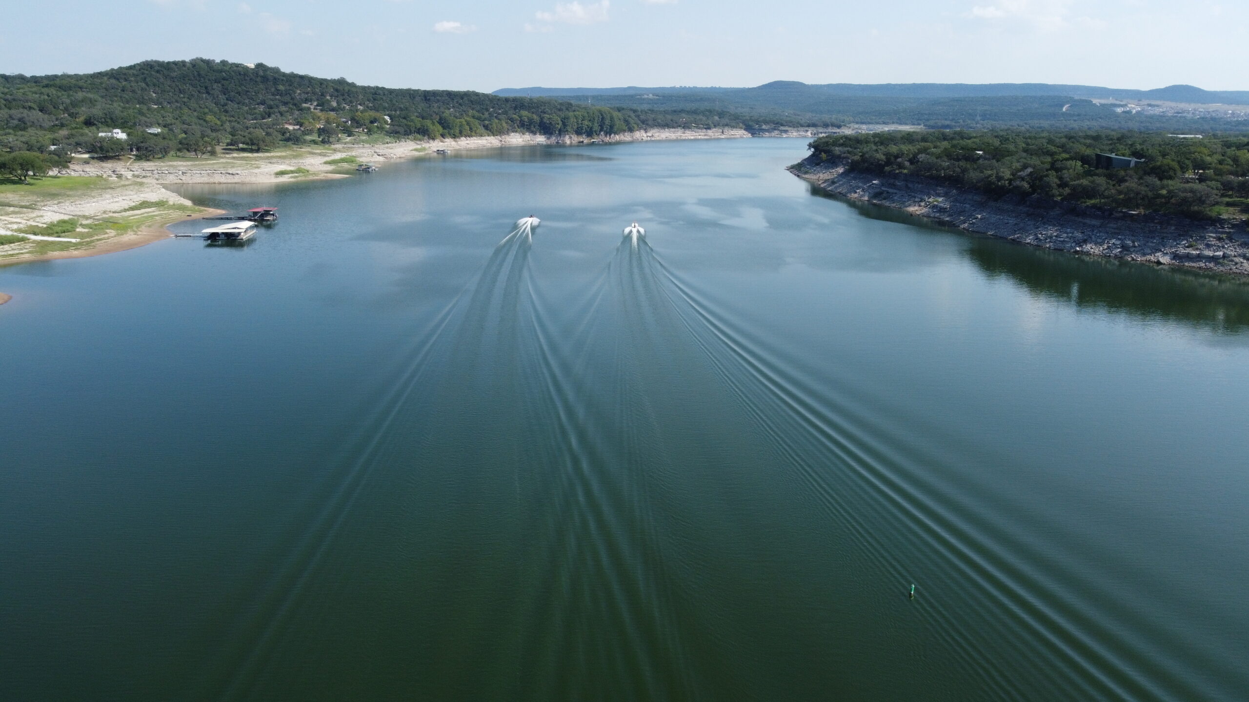
Drone Services
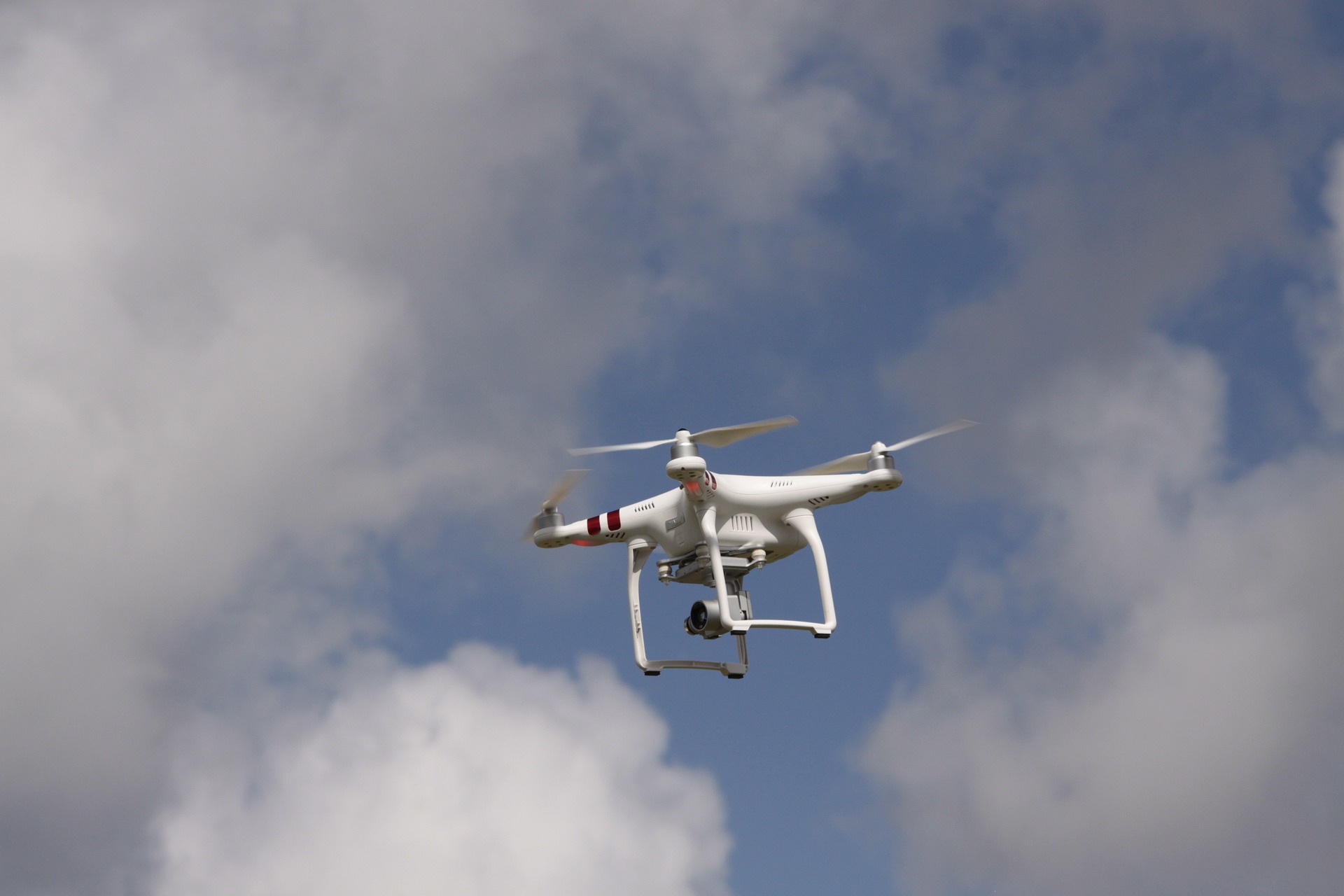
Aerial Photography
Capture stunning moments from the sky! Our aerial photography service uses top-notch drones to provide breathtaking images that showcase your property, event, or landscape from a unique perspective.
Whether youʼre a business wanting to highlight your location or an individual celebrating a special occasion, our skilled pilots ensure every shot is perfect. We turn ordinary views into extraordinary memories, making your vision come to life!
With our high-resolution images, youʼll have vibrant visuals that grab attention. We use the latest technology to deliver photos that are not just beautiful but also sharp and clear, ensuring every detail shines through.
Our team works closely with you to understand your needs and preferences. We take pride in our professionalism, ensuring a smooth experience from start to finish. Your satisfaction is our top priority, and we wonʼt settle for less!
Ready to elevate your project or event? Let us bring your vision to life with our exceptional aerial photography. Contact us today to schedule a session, and watch as we transform the ordinary into the extraordinary!
Airborne Inspections
Ensure safety and efficiency with our airborne inspections! We use advanced drones to inspect hard-to-reach areas, providing detailed visuals that help you identify issues without hassle. Safety has never been this easy!
From rooftops to power lines, our drones provide high-quality imagery that uncovers potential problems. This means you can make informed decisions quickly, saving time and money while keeping everyone safe on the ground.
Our skilled operators are trained to deliver precise results, using the latest technology to capture every detail. We pride ourselves on accuracy, ensuring that you get reliable data for your inspections without any guesswork.
We understand that every project is unique. Thatʼs why we tailor our inspection services to meet your specific needs, providing you with a personalized experience that guarantees the best results every time. Your trust matters!
Don’t let inaccessible areas slow you down! Choose our airborne inspections for clear, actionable insights. Contact us today to schedule your inspection, and experience the ease and efficiency we bring to your projects!
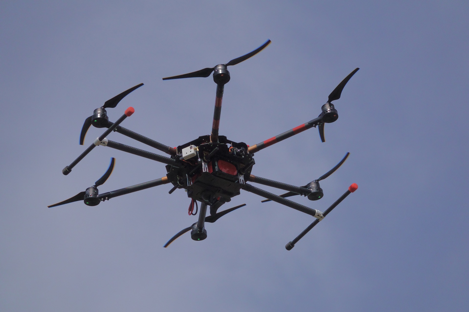
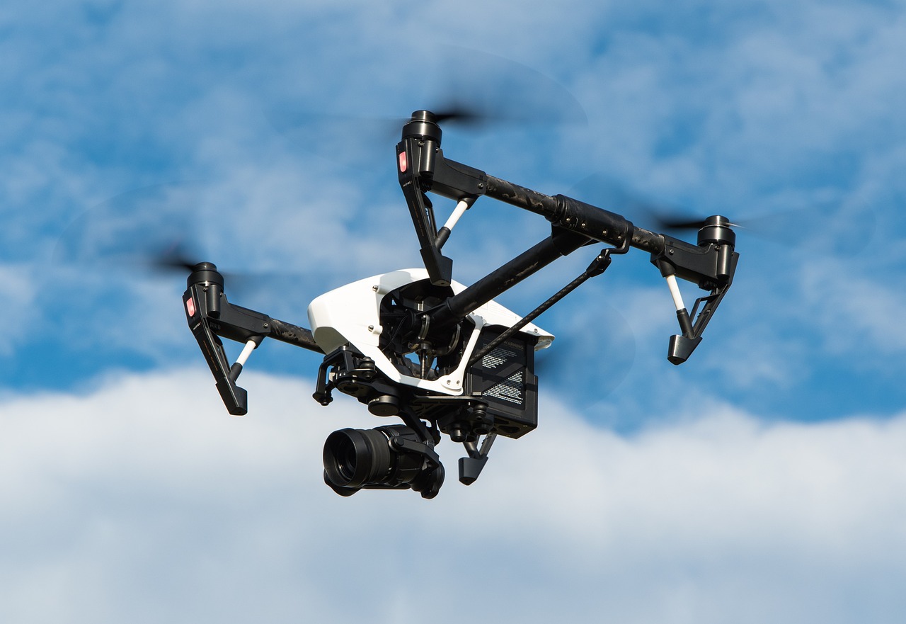
Mapping Solutions
Transform data into stunning visuals with our mapping services! Using cutting-edge drones, we create precise maps for various applications, helping you visualize your area like never before. Clarity is key!
Whether it’s for construction, land surveying, or environmental studies, our detailed maps provide essential insights. We capture accurate topographic information, ensuring you have the data you need to make informed decisions.
Our mapping services utilize advanced photogrammetry techniques to deliver high-resolution images. This means you get clear visuals that highlight every feature of your project area, making planning and analysis easier than ever.
We work closely with you to understand your specific mapping needs. Our team is dedicated to providing personalized support, ensuring that each project is tailored to your requirements for the best possible outcomes.
Ready to elevate your project with precise mapping? Let us turn your data into valuable insights. Contact us today to get started, and discover how our mapping services can enhance your decision-making process!
Photogrammetry Services
At Drone Sky Visions, our photogrammetry services bring cutting-edge aerial mapping solutions to clients across various industries. Using high-resolution drone imagery and advanced mapping software, we create detailed, accurate maps and 3D models that deliver insights down to the centimeter if necessary.
Our skilled drone operators and mapping experts work with state-of-the-art equipment, allowing us to capture extensive, detailed data across large areas in a fraction of the time needed for traditional surveying methods. We customize each flight to the specific needs of our clients, capturing the precise data necessary for a wide range of applications. With our experience in photogrammetry, we know how to manage various terrains and environments, ensuring that our clients get top-quality results even in challenging conditions.
One of the primary benefits of our photogrammetry services is the quality and richness of the data we deliver. We offer high-resolution 2D maps and detailed 3D models that support a range of decisions, from site assessments to project planning and beyond. Our services reduce the time and costs associated with on-the-ground surveys, while also providing our clients with visual data that is easy to interpret and actionable, ultimately allowing for faster, better-informed decisions.
At Drone Sky Visions, we believe in a client-centered approach to every project. From the initial consultation to the final deliverables, we ensure clear communication, transparency, and dedication to quality. Our team is here to discuss your unique project requirements and tailor our approach accordingly, providing you with reliable mapping solutions that support your business goals. Let us show you the power of photogrammetry to elevate your projects and transform your approach to site analysis.

Event Coverage
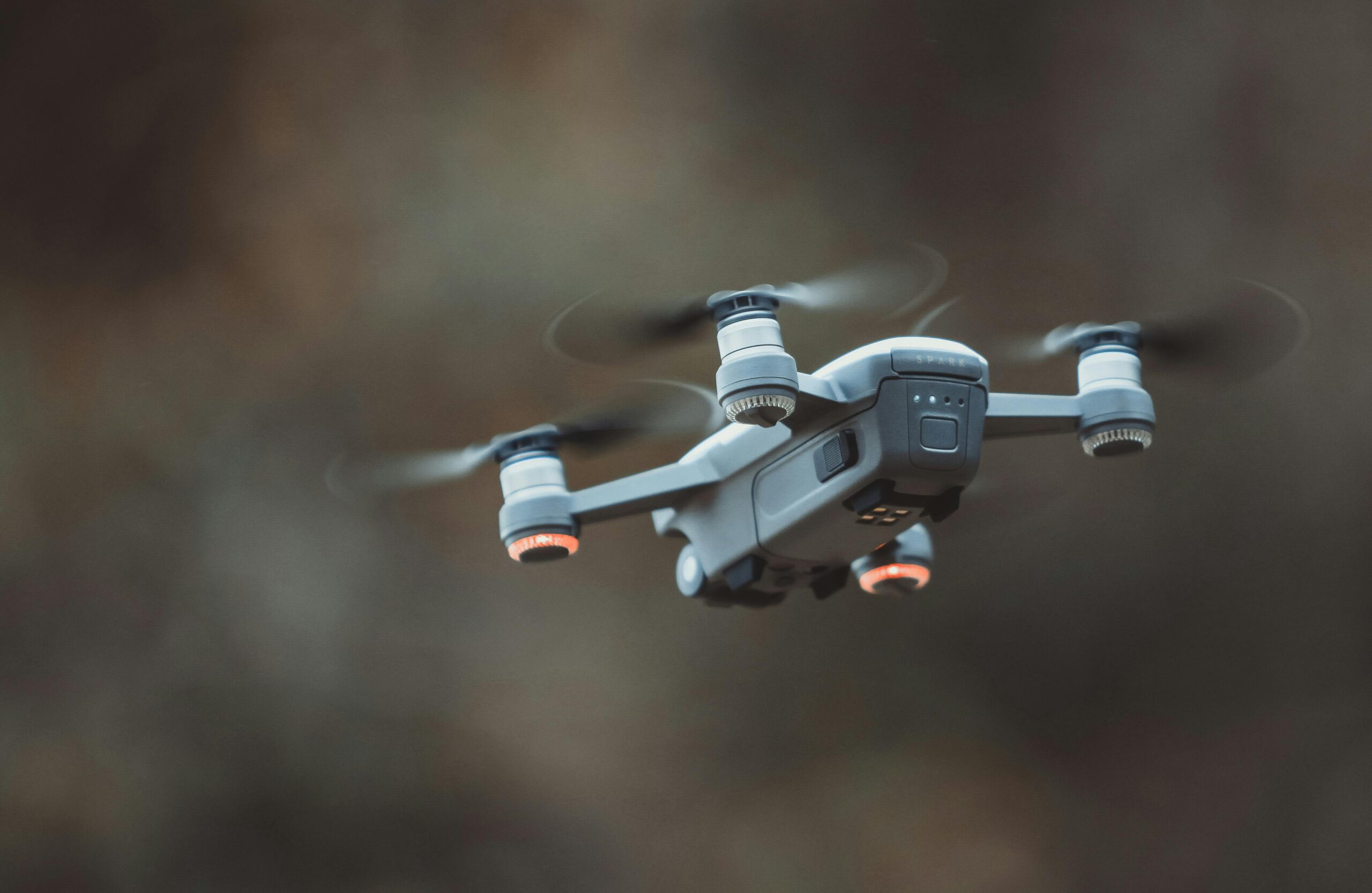
At Drone Sky Visions, we specialize in capturing the energy and excitement of special events with unparalleled aerial perspectives. Our drone services provide breathtaking views that traditional photography simply can’t match, making every moment truly unforgettable. From large-scale festivals and concerts to intimate gatherings and weddings, our team brings extensive experience in aerial photography and videography, ensuring that we capture every angle, crowd shot, and panoramic view that tells the full story of your event.
Our drones are equipped with high-resolution cameras capable of capturing both stunning stills and dynamic video footage, providing the versatility needed to document events of any scale. Whether you want sweeping aerial shots of the entire venue or close-up captures of key moments, we tailor each flight to your vision, working closely with you to understand the event’s unique atmosphere and the shots that matter most. With our skilled pilots, you can trust that each shot is expertly framed and beautifully composed, elevating your event coverage to a new level.
We know that no two events are alike, and our team is committed to delivering a personalized experience that ensures your needs are met from start to finish. Our approach emphasizes safety and professionalism, managing every detail of the aerial shoot with precision, from pre-flight planning to post-production. We handle all the logistics so you can focus on your event, confident that Drone Sky Visions will provide stunning visuals that reflect the energy and essence of your special occasion.
Choosing Drone Sky Visions for your event coverage means gaining a partner who is dedicated to delivering remarkable results. Our goal is to provide an immersive and memorable perspective that allows you and your guests to relive each incredible moment. Let us show you how our drone coverage can enhance your special event, capturing memories that last a lifetime.
Commercial Services
Drone Sky Visions offers a comprehensive suite of drone services tailored to meet the diverse needs of commercial clients. From construction and real estate to agriculture and infrastructure, our drones provide innovative solutions for businesses looking to gain a competitive edge. We deliver precise, actionable data and captivating visuals that support informed decision-making, enhance marketing strategies, and improve operational efficiency. With our expertise and cutting-edge technology, we offer unparalleled value to clients who rely on accurate, timely information to drive their business forward.
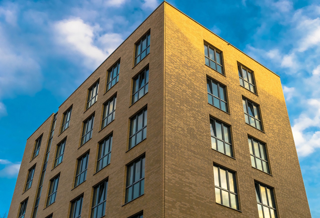
For commercial clients, our drone-based inspections are a game-changer, enabling quick and safe access to hard-to-reach areas such as rooftops, towers, and other infrastructure. With high-definition cameras and thermal imaging capabilities, we detect structural issues, monitor equipment conditions, and assess damage without the need for costly and time-consuming ground inspections. Our services help businesses identify and resolve issues early, minimizing downtime and enhancing safety—all while saving on operational costs.
Drone Sky Visions also specializes in commercial photography and videography, helping companies showcase their projects, facilities, and properties in striking detail. Our drones capture sweeping views and dynamic footage that can be used for marketing, investor presentations, and client engagement. For real estate professionals and property managers, our high-resolution aerial imagery highlights properties with a captivating perspective, allowing potential buyers or tenants to view properties like never before. Our team works closely with each client to ensure our visual content aligns perfectly with their brand and marketing objectives.
In addition, we offer photogrammetry and mapping solutions that empower commercial clients to make data-driven decisions. Using advanced mapping software, we create accurate 2D maps and 3D models ideal for planning, tracking, and analyzing projects over time. These services are invaluable to sectors such as construction, agriculture, and land development, where detailed, up-to-date site data is essential. At Drone Sky Visions, we are dedicated to delivering precise, impactful solutions that meet the high demands of commercial clients, making us a trusted partner for all your aerial service needs.

Experience excellence in every flight — we prioritize quality and customer satisfaction.